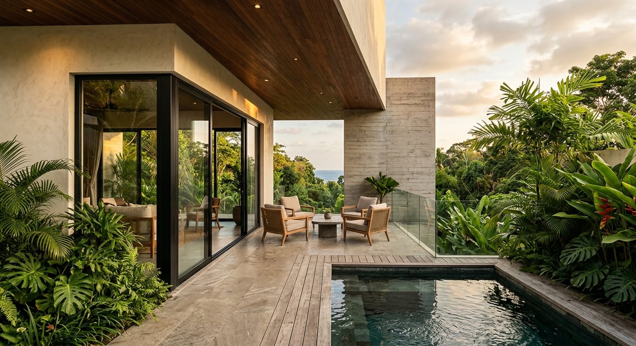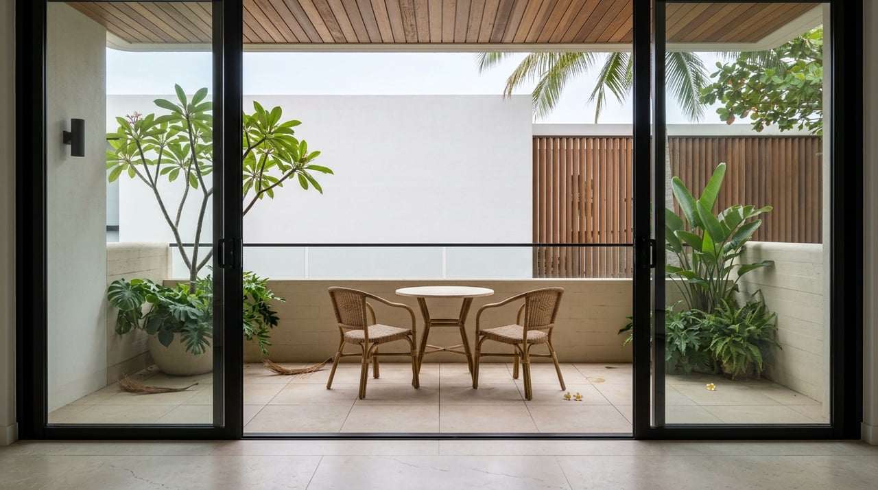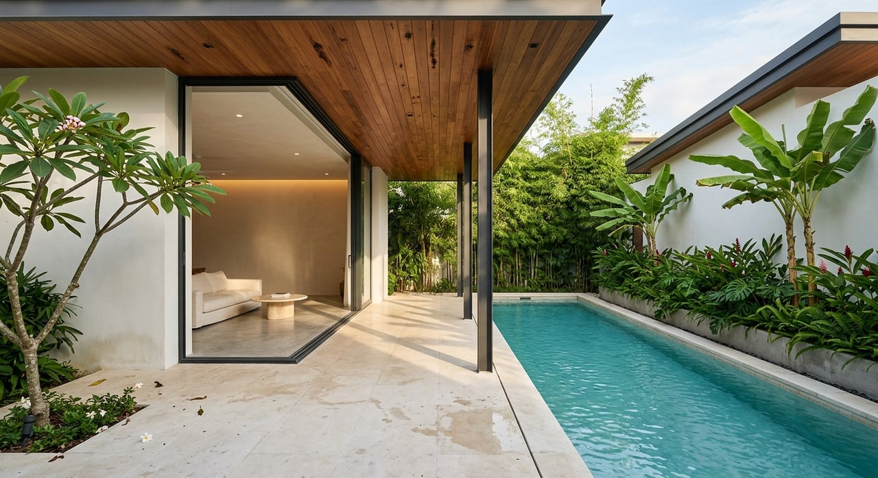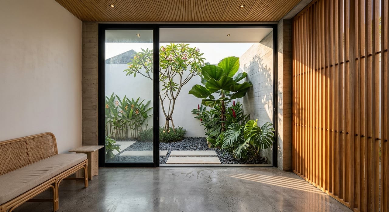
If you are dreaming about building in Uvita, the land itself can make or break the project. Buying a lot here is not like buying in a typical subdivision, because coastal rules, environmental review, flood patterns, and utility access all play a much bigger role. The good news is that with the right due diligence, you can move forward with far more clarity and confidence. Let’s dive in.
Why buying land in Uvita takes extra care
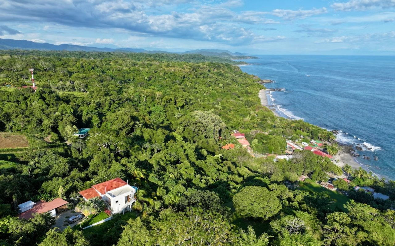
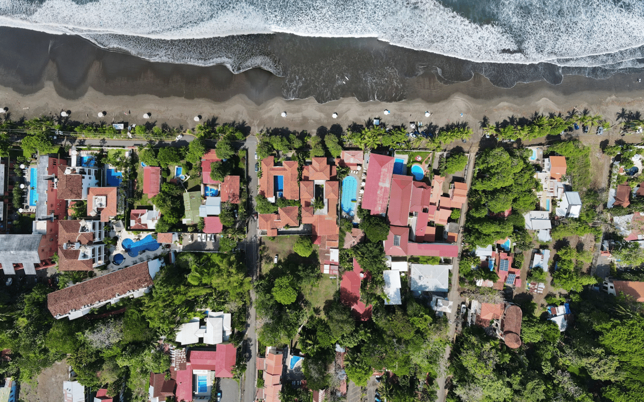
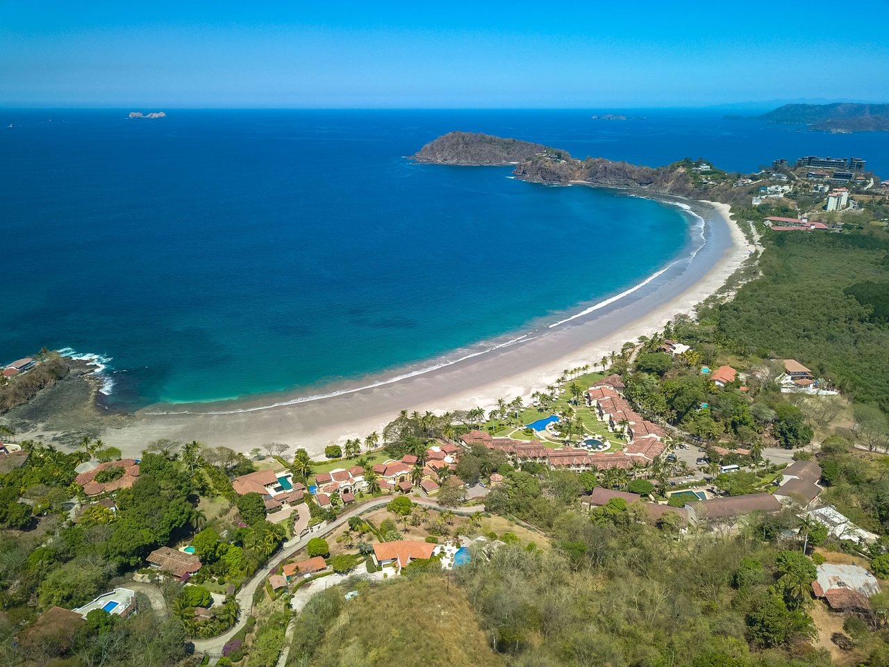
Uvita is part of a coastal area shaped by both tourism and conservation. According to SINAC’s Marino Ballena National Park information, the shoreline here connects with protected beaches and coastal habitat, and the ICT places Uvita within the broader Dominical and Bahía Ballena tourism corridor.
That matters because land in Uvita often comes with more front-end review than an existing home. Before you focus on design ideas or ocean views, you need to confirm what you can legally build, what risks the site may carry, and what approvals may be required.
Check land status first
Is the lot in the Maritime Terrestrial Zone?
One of the first questions is whether the property is ordinary titled land or part of Costa Rica’s Maritime Terrestrial Zone, also called the ZMT. Under the ICT’s ZMT law summary, the coastal strip extends 200 meters inland from the ordinary high-water line.
That 200-meter strip is divided into two parts:
- A 50-meter public zone
- A 150-meter restricted zone
If a parcel falls inside this area, the legal path is very different from a standard inland purchase. In many cases, you may need a concession rather than a simple fee-simple ownership structure, and any construction must align with the applicable coastal plan and zoning framework.
Why this step matters early
If you skip this question, you can lose time and money chasing the wrong kind of property. The ICT’s coastal-zone guidance makes clear that concessions and construction review depend on the local plan regulador.
In practical terms, this means you should verify land status before you evaluate building potential. For buyers coming from abroad, this is one of the most important early filters.
Start with the core due diligence documents
The Municipalidad de Osa says buyers should begin with the cadastral plan and deed, then request the use-of-soil criterion. According to the municipality’s construction and urban development FAQ, this is one of the first formal steps in understanding what can be done on a parcel.
You will also want to confirm that the cadastral record matches the physical property on the ground. That is why survey and topography work often comes early in the process, especially before you move into design and permitting.
Your early document checklist
Before getting too far into planning, confirm these items:
- Cadastral plan
- Property deed
- Use-of-soil criterion from the municipality
- Water-availability letter from ASADA or AyA
- Electricity-availability letter from ICE
These are not small details. They shape whether your project is feasible, how long approvals may take, and what kind of home you can realistically build.
Confirm road access and easements
Access is another issue buyers should review right away. The ZMT visado regulation notes that cadastral plans should reflect registered servitudes, and alignment approvals may be needed from MOPT for national roads or the municipality for cantonal roads.
The CFIA permit system also treats road alignment, vehicular access, water availability, and sanitary discharge as pre-construction requirements. If legal access is unclear, the project can stall before plans are even submitted.
What to verify about access
Make sure you understand:
- Whether the lot fronts a public road
- Whether access depends on a registered easement
- Whether road alignment approval is required
- Whether the site layout supports safe vehicle entry
A beautiful lot is only useful if access is legally and technically workable.
Study flood and site risks before design
Flooding is a real Uvita issue
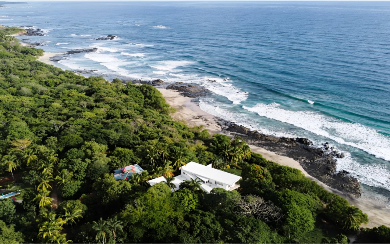
Flood risk is one of the biggest hidden concerns for land buyers in Uvita. The CNE hazard report for Osa identifies Uvita among areas affected by floods and related hazards, and the Osa coastal plan also recognizes Uvita as a flood-risk zone.
In some lower-slope areas, the coastal plan notes that elevated construction may be appropriate so water can pass beneath the structure. That does not mean every lot is unsuitable, but it does mean flood behavior should be part of your site review from the start.
Slope, geology, and coastal exposure matter too
The same CNE report also highlights broader hazards such as seismic exposure, landslide-prone slopes, and tsunami exposure along the coast. For buyers, slope and elevation are not just aesthetic features. They directly affect safety, engineering, design options, and long-term cost.
If you are comparing several parcels, it helps to think beyond the view. A lot with a great setting but difficult terrain may need more technical work than expected.
Pay close attention to wastewater and water protection
Wastewater planning is easy to underestimate when buying raw land. The Osa coastal construction regulations explain that septic systems, leach fields, and similar solutions must fit the site’s soil and groundwater conditions in order to avoid contamination of surface water and groundwater.
Those same regulations also note that coastal aquifers are vulnerable to marine intrusion and overuse. In plain terms, drainage and wastewater design are not details to solve later. They are part of deciding whether a lot is truly buildable for your goals.
Sensitive areas can trigger added scrutiny
This is especially important near estuaries, mangroves, and protected habitat. Under the ZMT law, mangroves are part of the public zone, and SINAC’s Marino Ballena National Park page shows the park’s strong presence along the Uvita coastline.
If a parcel is close to these systems, setbacks, conservation review, and build limitations may become much more important. That is one reason coastal lots need a more careful review than they may first appear to require.
Know when environmental review may apply
Depending on the project and the site, SETENA review may be part of the process. According to SETENA’s environmental viability guidance, the D2 form applies to certain low-impact category C projects, while D1-C applies to low-impact category C projects located in environmentally fragile areas.
The ZMT visado regulation also states that when SETENA procedures apply, the approval or exemption resolution must be included. This is another reason to understand site sensitivity before design work gets too far.
Follow the right building sequence
The smartest order of operations
In Uvita, sequence matters. Based on the municipal guidance and related permit requirements, a practical path looks like this:
- Verify whether the land is titled or in the ZMT
- Review the cadastral plan, deed, and use-of-soil criterion
- Confirm legal access, easements, and road alignment needs
- Confirm water and electricity availability
- Evaluate flood, slope, drainage, and wastewater constraints
- Hire your architect or engineer for design and permit preparation
- Submit through the APC system and complete any required approvals
This approach helps you solve the biggest risk items first. It also reduces the chance of designing a home for a site that cannot support your plan.
When to hire professionals
The Municipalidad de Osa says buyers should hire an architect or engineer after the use-of-soil check, and it notes that permits are managed digitally through APC. The same municipal FAQ says complete digital submissions may be approved in 1 to 3 days, although the legal response time is 10 business days.
For many buyers, the earliest technical professional is often a surveyor or topographer, since you need the cadastral record to match the physical site before design moves forward. After that, your architect or engineer becomes central to the permit path.
Understand permit compliance on site
Once construction is approved, compliance still matters. The Municipalidad de Osa says a construction permit requires the permit sheet, visado plans, a visible permit sign, and a construction logbook on site unless that logbook is digital.
The municipality also warns that unauthorized work can be stopped and may lead to fines or even demolition proceedings in some cases. That is why it is important to treat permitting as part of the project strategy, not a final administrative step.
What buyers often get wrong
A common mistake is assuming you can buy land and start building right away. In reality, Uvita land often requires a full review of zoning, access, utilities, environmental sensitivity, hazard exposure, and permit readiness before construction can begin.
Another mistake is focusing only on price per square meter. A less expensive lot can become far more costly if it has flood limitations, difficult wastewater conditions, or unclear access.
A practical mindset for your dream-home search
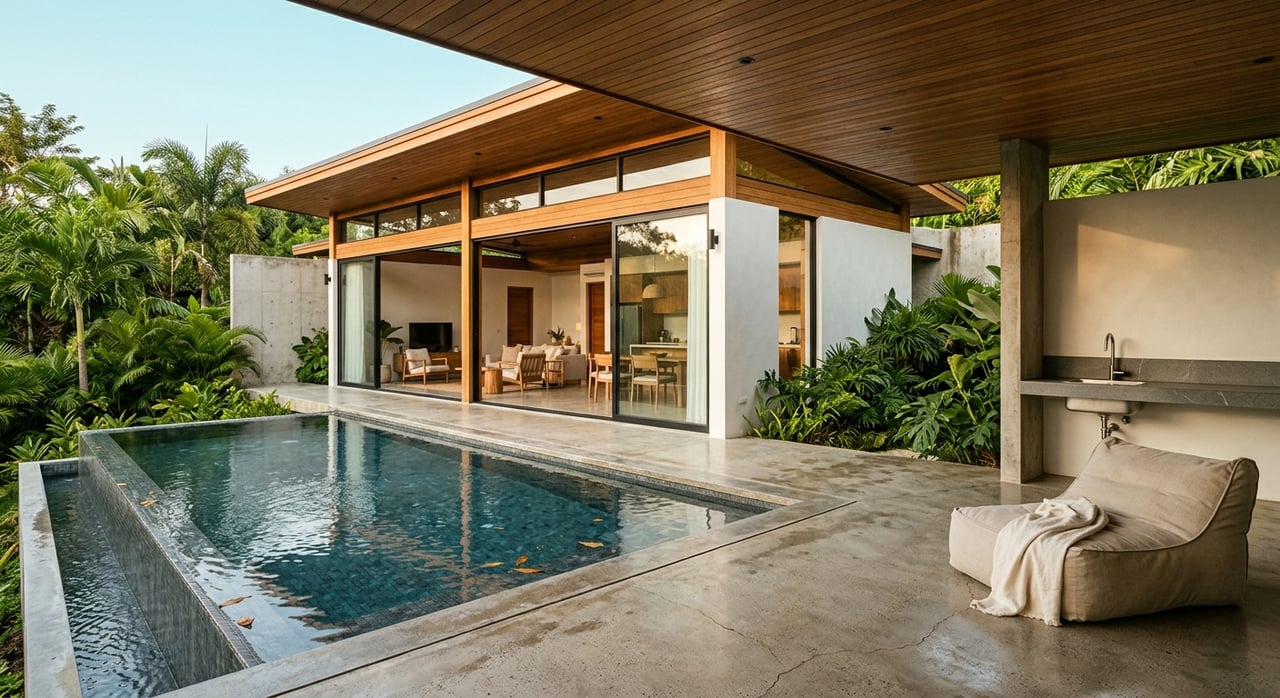
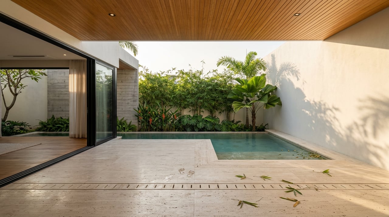
The best land purchases in Uvita usually start with patience and strong local guidance. When you understand the legal status of the parcel, verify infrastructure, and test the site’s risks early, you put yourself in a much better position to build the home you actually want.
If you are exploring land in Uvita, working with a team that understands the Southern Pacific market can help you move through the process with more clarity, better coordination, and fewer surprises. To schedule a private consultation, connect with Bluezone Realty International.
FAQs
Do I need a concession to buy land in Uvita?
- If the parcel is inside the 200-meter Maritime Terrestrial Zone, you will usually need to follow the concession framework rather than a standard private inland purchase.
Can I build right after buying land in Uvita?
- Usually not. You should first confirm land status, use of soil, utility availability, legal access, and any permit or environmental requirements before building.
What are the biggest risks when buying land in Uvita?
- The main recurring risks in official sources are flooding, slope instability, wastewater limitations, protected-habitat proximity, and whether the parcel falls within the ZMT.
Who should I hire first for a custom home project in Uvita?
- In many cases, a surveyor or topographer is the first helpful technical hire, followed by an architect or engineer once the parcel’s basic legal and physical conditions are confirmed.
How does the permit process work for building in Osa?
- The Municipalidad de Osa handles construction permits digitally through APC, and a complete submission must meet the municipality’s requirements before work begins.
Why is water availability so important for land in Uvita?
- The municipality requires a water-availability letter from ASADA or AyA, and water planning is closely tied to whether your project can move forward as intended.